.jpg)
A Simple and Immersive Solution for Viewing Property Boundaries Remotely
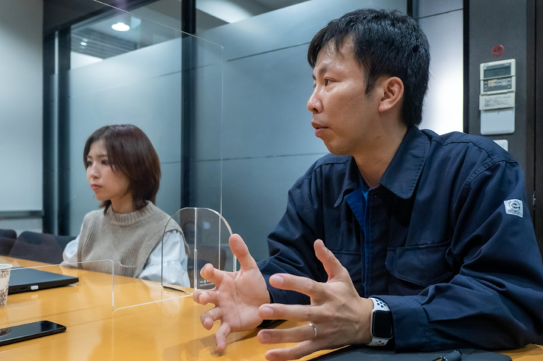
How can site monitoring and field verifications be simplified without constantly requiring property owners or technical teams to be on-site? That’s the challenge ARATANI Construction Consultant, a century-old company based in the Chūgoku and Shikoku regions, set out to solve. The company specializes in topographic surveys, soil studies, and land development planning.
Faced with hard-to-access environments and lengthy on-site validation procedures, the team decided to test a new approach: capturing the surroundings in 360° panoramic images using the RICOH THETA camera, and sharing them interactively with stakeholders.
Goal: Make Surveys Accessible, Visual, and Understandable from a Distance
Some sites are rugged, remote, or simply difficult to explain to non-technical audiences. Often, landowners or decision-makers cannot easily travel to verify the boundaries of their property. The RICOH THETA camera turned this challenge into an opportunity.
“Thanks to 360° capture, landowners can view their property without traveling. It’s clearer, faster, and more reassuring.”
Instead of relying solely on maps or standard photos, the team began documenting each key point on-site in 360°, providing a clear view of the real-world situation.

On-the-Ground Implementation
- Preparation: visual markers (stakes, signal tapes) are placed along the boundaries to be verified.
- 360° Capture: the RICOH THETA camera is mounted on a monopod at eye level, slightly tilted if needed to better display the visual markers.
- Processing: panoramas are sorted, lightly edited (shadow correction, brightness adjustment), and organized into a clear virtual walkthrough.
- Sharing: the images are embedded into online presentations or VR headsets, complementing cartographic data and 3D models (BIM/CIM).

Tangible Results
- Validation process shortened by several days: now completed in 2–3 days instead of 5–7.
- Reduced travel: no need to gather everyone on-site to verify boundaries.
- Improved user experience: over 90% of property owners reported satisfaction with the new method.
- Professional recognition: the approach received a special mention from the regional infrastructure office.

Why It Works
Because the RICOH THETA camera allows teams to:
- Quickly capture immersive views directly on-site,
- Provide clear visuals, even for non-specialists,
- Save time on validating critical data,
- Improve communication with clients and partners.
In Summary
ARATANI’s experience shows that 360° capture can be a strategic tool in construction, land development, or land management. With a compact and easy-to-use camera, the company has successfully combined modernity, efficiency, and simplicity — while strengthening client trust.
👉 Are you involved in field projects, development planning, or site monitoring? The RICOH THETA camera could transform how you communicate with your clients. Contact Us !


.svg)